From Teddington (150 miles), the Thames Path follows both left and right banks all the way to Greenwich. So for 25 miles you have a choice. Here we take a look at what, in our opinion, is the best option. To do this, we’ve broken it into sections and made a side-by-side comparison, stopping at some of the bridges so that you can switch sides.
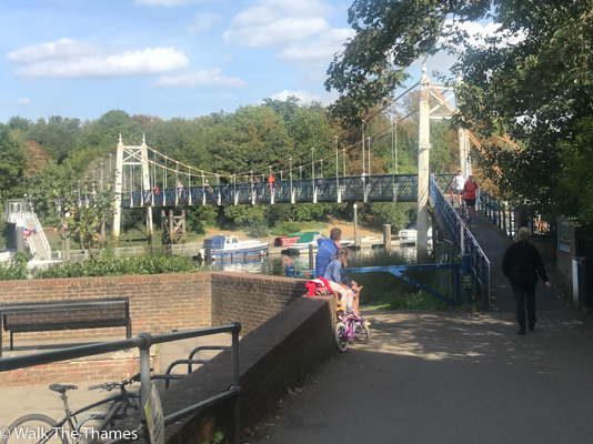
Teddington footbridge to Richmond Bridge 2.8 miles
The left bank does not get off to a great start as it follows the A310 for 0.8 miles into Twickenham. Don’t be put off by the “A” designation. It’s a quiet residential road, although you won’t see much of the river.
Interest picks up when the Path turns to the right through Radnor Gardens, past Radnor House School (which is built on top of Alexander Pope’s Grotto) and down to the riverfront at Twickenham.
From here to Richmond there is much to see: Eel Pie Island, St Mary’s Church, Orleans House Gallery, the beautiful Marble Hill House, and the Belgian Memorial, dedicated to those who who worked in a nearby munitions factory.
The right bank is more reminiscent of the rest of the Thames Path: greenery throughout. About half-way along is Ham House, a National Trust property at least worth a peek if only from the outside.
As you turn the bend at Petersham Meadows, Richmond can be seen ahead and there are a number of riverside cafes that you can enjoy.
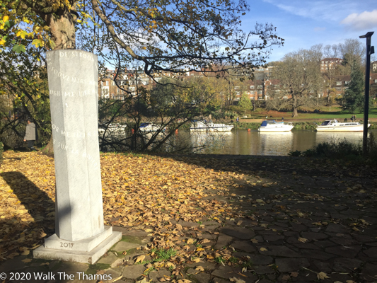
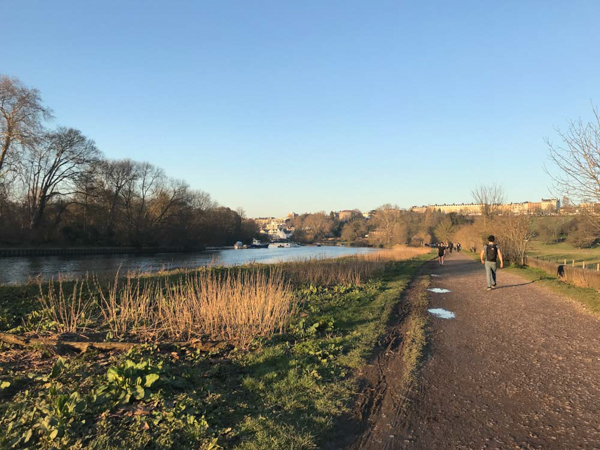
Verdict: despite the A310, a clear win to the left bank as there is just so much to see along the way.
Richmond Bridge to Kew Bridge 3.0 miles
The Thames Path on the left bank soon brings you to Isleworth and there are fewer lovely places along the Thames than this charming fishing village.
Soon after, you are walking through the grounds of Syon House, home to the Duke of Northumberland.
You exit the estate close to the River Brent which leads you back to the Thames via a series of fascinating shipyards.
We are now in Brentford and the short walk takes you past Morrisons, McDonalds and the London Museum of Water and Steam.
Like the previous section, the right bank passes mostly through wooded glades as it skirts the back of a golf course.
It does provide a glorious view of Isleworth across the water, although the view of Syon House is a little distant.
One advantage of the right bank is that, as you approach Kew Bridge, you get a glimpse of Kew Gardens – for free! If you wish to go in, the Path passes one of the entrances. So, if the Gardens are on your list, then it’s worth taking the right bank.
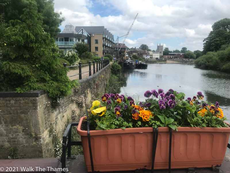
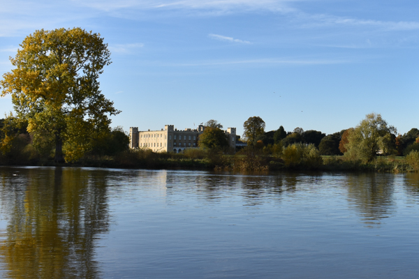
Verdict: another win to the left bank on account of the variety of landscapes encountered.
Kew Bridge to Barnes Bridge 2.1 miles
The left bank passes through the lovely village of Strand on the Green where you can stop at the famous Bulls Head. Unfortunately you soon have to leave the riverside and walk about a half mile before rejoining the river at Chiswick Quay Marina.
Past Chiswick Bridge the bends round the bottom of one of its great loops. Here the Path skirts around Duke’s Meadow, a large piece of land given over to sports activities. This can be quite busy at weekends.
At Barnes Bridge (a railway bridge with pedestrian access), the Path turns 90 degrees away from the river for 250 yards as it seeks to find a way under the railway line. It then returns down the other side from where you can mount the bridge.
Like the previous sections, the right bank is green most of the way. There are marvellous views of Strand on the Green on the other side. On your right is the National Archives – as well as a series of modern developments.
Past Chiswick Bridge, the right bank becomes industrial for the first time as the Path passes in front of Mortlake Brewery which is now closed but once brewed Watneys and then Budweiser.
At Barnes Bridge there are a number of places where you can refresh yourself including Rick Stein’s only London restaurant.
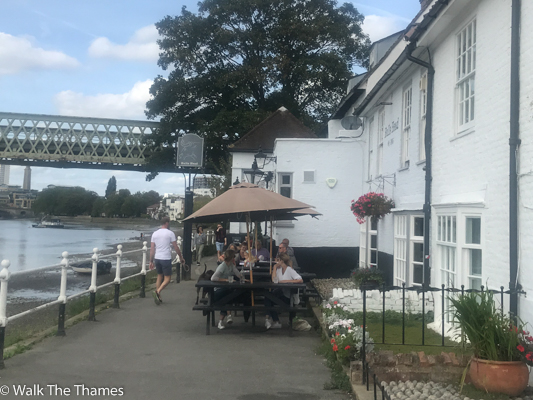
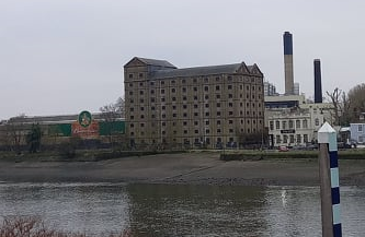
Verdict: a narrow win to the right bank. The residential walk and Duke’s Meadow just take the edge off the left bank.
Barnes Bridge to Hammersmith Bridge 1.7 miles
As you continue to walk past Duke’s Meadows you will see more soccer moms in their SUV’s. Thankfully after just a half mile we are on Chiswick Mall, a quiet residential road running between the river and a row of beautiful houses. The mall lasts for nearly a mile. Hogarth’s House is just 400 yards to our left. And we pass right by the Griffin Brewery, home of London Pride, where you can take a tour.
The final 3/4 mile to Hammersmith Bridge passes a number of pubs as well as the former London home of William Morris. The river is always in view.
The right bank follows a narrow path sandwiched by the river and a rather busy road. The filling soon gets thicker as we pass by the Leg O’ Mutton Nature Reserve, named after its shape.
The Path, now, is verdant and covered in trees as we turn to the top of the bend approaching Hammersmith Bridge. St Paul’s school, one of the most prestigious in the UK, can be seen to the right.
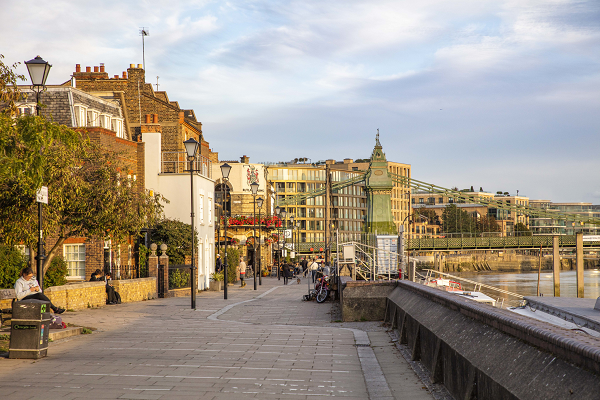
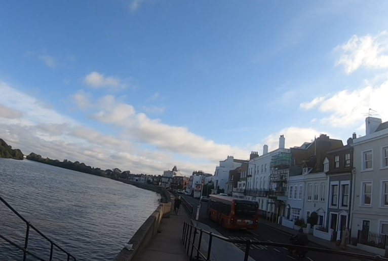
Verdict: a clear win to the left bank. The walk along Chiswick Mall is delightful.
Hammersmith Bridge to Putney Bridge 1.7 miles.
Despite the modern developments around Hammersmith, the Path manages to keep close to the river at all times passing houses interspersed with the occasional pub. Opposite is the Harrods Furniture Depository now turned into luxury flats.
Exactly a mile in and you are at Craven Cottage, home of Fulham FC. You won’t come any closer to a football. The Riverside Stand is being redeveloped so you will have to walk around the perimeter of the ground, past the club entrance and into Bishops Park.
The park is named after Fulham Palace which was the former home of the Archbishop of London. The Palace is open to visitors. The park is also home to a collection of beautiful plane trees.
As you may have come to expect, the right bank is quite green. This time the Path threads its way between the river and the London Wetlands which can be visited – although the entrance is some distance from the Path.
We are soon on Putney Embankment and there is much evidence or rowing as Putney Bridge marks the start of the University Boat Race (the finish is just before Chiswick Bridge).
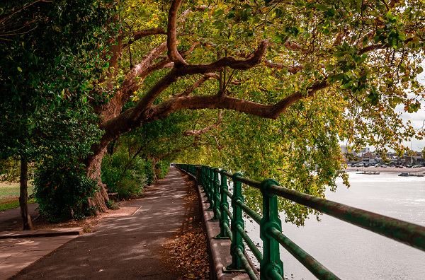
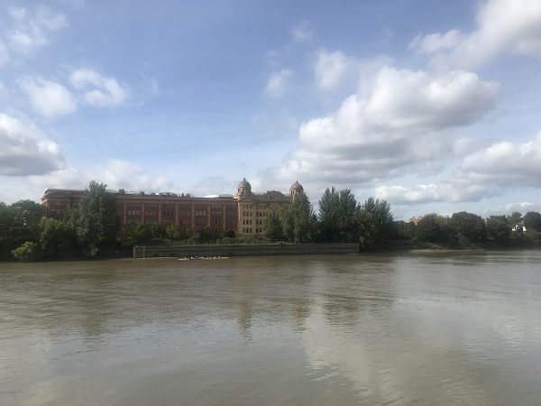
Verdict: Once again, a clear win to the left bank.
Putney Bridge to Wandsworth Bridge 1.6 miles
At Putney Bridge the Path is rather rudely pushed away from the river by the Hurlingham Club, a private social and athletic club. After 400 yards of walking “inland” you make your way across Hurlingham Park.
Even when back on the river front, you still have to negotiate the Tideway (Supersewer) development as well as a retail park.
Developments have also got in the way of the right bank which, together with the confluence of the River Wandle, cause the Path to be pushed inwards for quite some way. Aside from the stretch alongside Wandsworth Park there is little of interest along this route. However, it is a good 0.2 mile shorter.
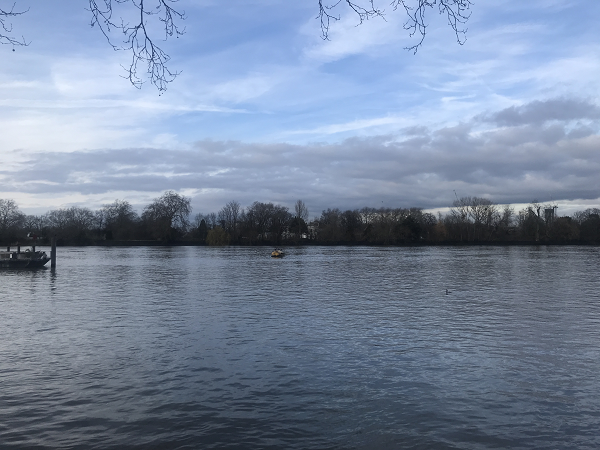
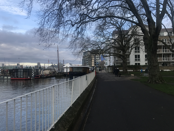
Verdict: There is little of merit on either side so, as the right bank is slightly shorter, it wins.
We’re about half way to Greenwich so let’s check to see what the scores are. And the left bank is winning by 9.1 miles to the right bank’s 3.6. Quite a difference. But don’t think it’s all over yet.
Wandsworth Bridge to Battersea Bridge 1.5 miles
At Wandsworth Bridge the Thames Path is diverted around the back of a huge Sainsbury’s before finding its rightful place alongside the river. It’s a pleasant walk through Imperial Park to Chelsea Harbour which is always lovely to see.
There are diversions at Chelsea Creek pushing you inwards to Lots Road which you must follow until reaching Chelsea Embankment just before Battersea Bridge.
The right bank offers a virtually uninterrupted riverside walk. The only exception is a small diversion around the London Heliport. You are also treated to a close encounter with St Mary’s Church, Battersea where William Blake was married. JMW Turner painted a scene of the river from here.
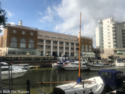
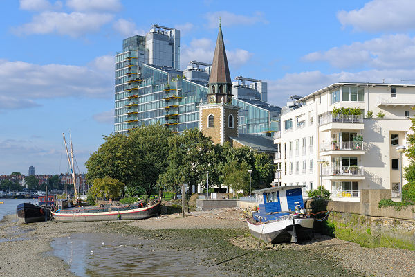
Verdict: A clear win to the right bank due to its almost uninterrupted riverside presence.
Battersea Bridge to Chelsea Bridge 1.0 miles
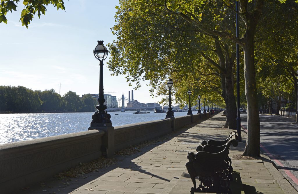
The Path follows Chelsea Embankment along the left bank. Although there is much to see – Cheyne Walk: home to artists past and present; Chelsea Physic Gardens; the Royal Hospital , home to the Chelsea Pensioners; the statue of Thomas More; and the highly acclaimed restaurant, No. 50 Cheyne, the overall experience is marred by the presence of heavy traffic along the entire route.
After a brief encounter with some modern developments, the right bank deposits you in Battersea Park which you follow all the way to Chelsea Bridge. The park is lovely with a couple of cafes and, of course, the London Peace Pagoda.
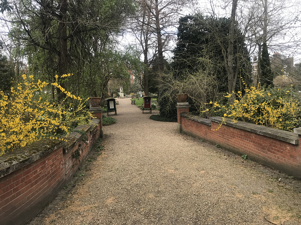
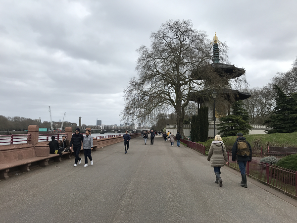
Verdict: Another win to the right bank. The traffic noise on Chelsea Embankment spoils what would otherwise be an interesting walk.
Chelsea Bridge to Vauxhall Bridge 1.6 miles
Unfortunately the left bank continues to be marred by the traffic as we walk alongside Grosvenor Road. There is little of interest to see other than to admire the glorious Battersea Power Station on the other side of the river.
Past Chelsea Bridge we are thrust in front of Battersea Power Station. For some, this will be a demerit as the Thames Path has been temporarily diverted around the back of the station. But others will stand and stare at how a masterpiece of architecture has been brought back to life.
There are more diversions just beyond with the Tideway Supersewer. But soon you are in Nine Elms and have an interrupted riverside walk to Vauxhall Bridge.
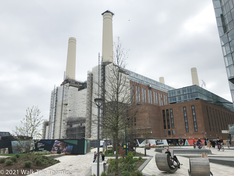
Verdict: For some, the diversions on the right bank will be a detraction. But we think it’s worth getting up and close to the beast of Battersea.
Vauxhall Bridge to Westminster Bridge 1.1 miles
Art lovers may wish to cross over to the left bank at Vauxhall Bridge as the Thames Path passes Tate Britain, one of the best galleries in the UK.
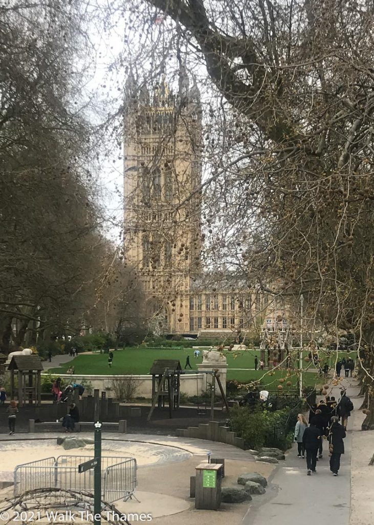
Beyond Lambeth Bridge is Victoria Gardens, which adjoins the Houses of Parliament. You can’t follow the river past Westminster Palace – that would be too much of a security risk. Instead you follow Abingdon (!) Street between Westminster Abbey and the Palace, passing statues of Richard I, Oliver Cromwell and Winston Churchill. Don’t be surprised to see protestors in Parliament Square.
The Path on the right bank starts off badly. The art deco building on the other side of the bridge is the headquarters of MI6 and you must walk behind it to reach the Albert Embankment which takes you to Lambeth Bridge. Like the Chelsea Embankment, it can be noisy.
That ends at Lambeth Bridge as a traffic free riverside walk threads a narrow path between the river and St Thomas’ Hospital. It is also the site of the Covid Memorial Wall, intensely moving.
But best of all is the view across the river: of the Houses of Parliament and Big Ben glistening in the sunlight; or, better still, illuminated at night.
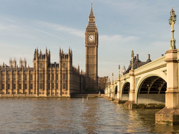
Verdict: Sightseers may prefer the left bank. But walkers will prefer the right bank with its spectacular views.
Westminster Bridge to Tower Bridge 2.4 miles
Although the left bank doesn’t run directly past any major attractions until you reach Tower Bridge, nonetheless it’s close to some of London’s finest. Parallel to the Thames is the Strand, one end of which is Trafalgar Square where you can find the National Gallery. Similarly distanced from the Thames is St Paul’s Cathedral.
But the walk is marred by the fact that roughly half of the walk is on Victoria Embankment which borders a busy road. Only the stretch between Blackfriars and Tower Bridge is traffic free. Even then, the Path in front of the Tower was closed during Covid and who knows what excuse they may make to close it again?
By contrast the right bank is traffic free. Not only that, it passes in front of some wonderful places to visit: the London Eye, the South Bank Centre, the Tate Modern, the Globe Theatre, Southwark Cathedral, HMS Belfast and the Golden Hinde.
The views across the river are unparalleled. Leaving behind Big Ben and the Houses of Parliament, St Paul’s Cathedral is on the skyline for so long. The skyscrapers of the city of London are next followed by the Tower of London, beautiful at night.
Towards the end of this stretch, between Bankside and London Bridge, the Path briefly moves away from the river passing through narrow streets and alleyways with surprises on every corner.
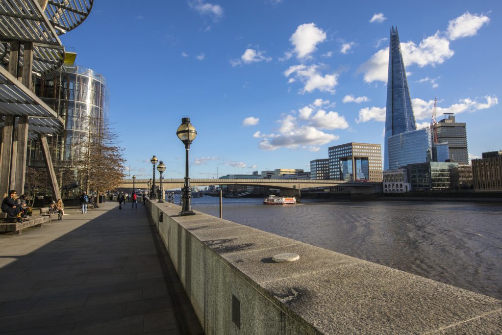
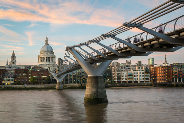
Verdict: A convincing win to the right bank: attractions, traffic free and with some of the best views in London.
Our final stretch is our longest: 5.2 miles from Tower Bridge to Greenwich. There are no pedestrianised bridges or tunnels to cross here. So before we assess this. let’s take a quick look at the scores. Since Wandsworth Bridge, the right bank has won every section and now has 11.2 miles to the left bank’s 9.2 miles. So this stretch is the decider!
Following an enchanting encounter with St Katherine’s Docks, the left bank follows Wapping High Street, a narrow street with converted warehouses separating you from the river. Occasionally a garden opens up and you can once again enjoy the river. But only for a moment. The route is full of past treasures: the Captain Kidd pub and Executioners Dock, both reminders of past piracy.
Beyond Wapping is Shadwell and Limehouse, both with marinas, Limehouse being the junction with Regents Canal. The Grapes pub is here, frequented by Dickens and now owned by Sir Ian McKellan.
Next, just as the river starts to turn south, is Canary Wharf where you may share the path with briefcases and roller-skaters as you walk past the skyscrapers filled with financial institutions. The Museum of London Docklands is just 400 yards from the Path.
The Path now turns away from the river and, for just over half a mile, you are on Westferry Road where you walk through Millwall’s social housing. The remainder of the walk to Island Gardens, opposite Greenwich, is mostly riverside.
And finally a walk through the tunnel to Greenwich.
The right bank route mirrors the left bank in so many ways. Instead of the warehouses of Wapping, Shadwell and Limehouse you have Bermondsey and Rotherhithe, no less intriguing with its overhead gantries. Wapping Street is replaced with Rotherhithe Street. Where on the left you had Captain Kidd, the right bank gives you the Mayflower, where the ship rested before going to Plymouth.
The right bank also has a museum: the Brunel, where father and son built the first tunnel to be built below a navigable river and now used by the rail network.
There are other little gems along the way: Ada Salter‘s statue, the reformer who worked and died in Bermondsey; and Pepys Park.
And, just as the left bank diverts off the river into Millwall, the right bank takes you through Deptford for just under a mile.
Back, safe and sound, at the river you cross Deptford Creek where there is a statue to St Peter the Great, who learned how to build ships here.
It’s just a short walk from Deptford Creek to the Cutty Sark at Greenwich and the tunnel entrance where you are reunited with your fellow walkers who have been on the left bank for the last 25 miles.
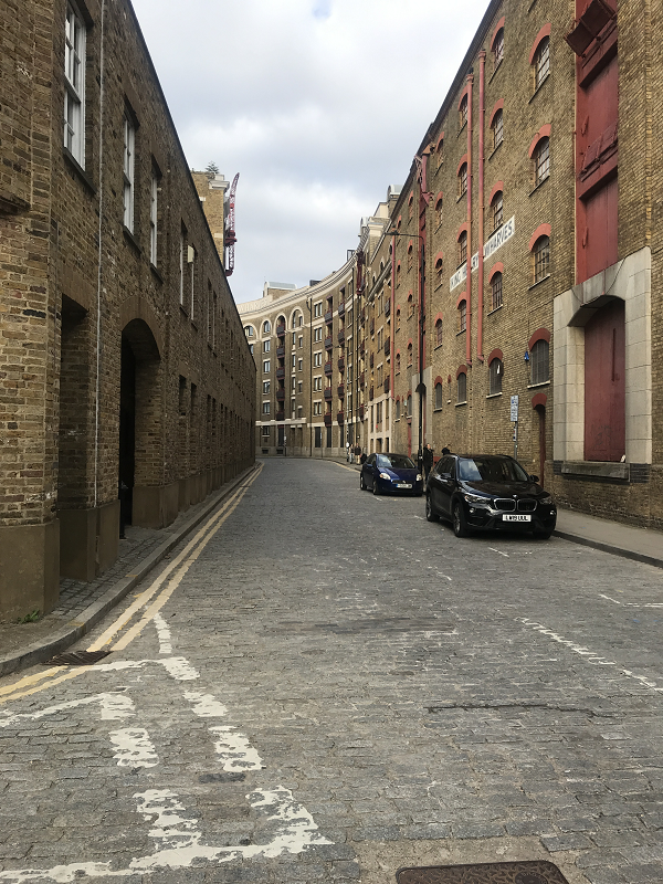
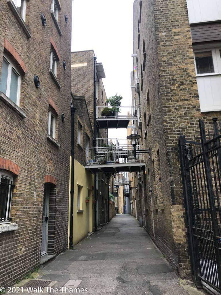
Verdict: This is probably the closes section to call. They are very similar: Wapping and Rotherhithe being very alike. Although it’s true that the detour through Millwall on the left bank is slightly shorter than through Deptford on the right, we are going to award this section to the right bank on account of the views. For the Thames Path walker, we think Canary Wharf is best seen from a distance than close up.

So there you have it – our recommendation as to which side to walk. And, in fact, it’s rather simple. Follow the left bank all the way to Putney Bridge (save for the stretch between Kew Bridge and Barnes Bridge); cross at Putney Bridge and follow the right bank the rest of the way!
Ready to book?
| Cookie | Duration | Description |
|---|---|---|
| cookielawinfo-checkbox-analytics | 11 months | This cookie is set by GDPR Cookie Consent plugin. The cookie is used to store the user consent for the cookies in the category "Analytics". |
| cookielawinfo-checkbox-functional | 11 months | The cookie is set by GDPR cookie consent to record the user consent for the cookies in the category "Functional". |
| cookielawinfo-checkbox-necessary | 11 months | This cookie is set by GDPR Cookie Consent plugin. The cookies is used to store the user consent for the cookies in the category "Necessary". |
| cookielawinfo-checkbox-others | 11 months | This cookie is set by GDPR Cookie Consent plugin. The cookie is used to store the user consent for the cookies in the category "Other. |
| cookielawinfo-checkbox-performance | 11 months | This cookie is set by GDPR Cookie Consent plugin. The cookie is used to store the user consent for the cookies in the category "Performance". |
| viewed_cookie_policy | 11 months | The cookie is set by the GDPR Cookie Consent plugin and is used to store whether or not user has consented to the use of cookies. It does not store any personal data. |